
Alt Empordà · Alta Garrotxa
Albanyà and surroundings
Albanyà is a small village in the Alt Empordà, at the gateway to the Alta Garrotxa. A landscape of forests, rivers and old paths to explore at an unhurried pace.
Things to do
The village
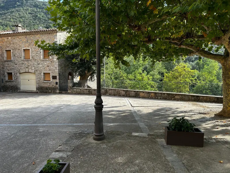
Can Martinot stands on the square of Albanyà itself. You can set off for a stroll around the village straight from the front door.
The Muga river and its pools
The Muga flows right beside the house. You walk down to it from the patio and, in summer, its natural pools are the perfect place to cool off.
GR-11
The long-distance trail that crosses the Pyrenees passes through Albanyà. You can walk a section of it starting from the village.
Bassegoda
The Bassegoda massif dominates the landscape around Albanyà and is one of the emblematic peaks of the Alta Garrotxa.
Lliurona
A small hamlet in the municipality of Albanyà, surrounded by forest, to discover on foot or by bike.
Sanctuary of the Mare de Déu del Mont
At the top of El Mont, the sanctuary offers a wide panorama over the Empordà and the Garrotxa.
Sant Llorenç de Sous
The ruins of an old Benedictine monastery, documented in the 9th century, at the foot of the Mare de Déu del Mont. It is a ruined site, not a working monastery.
Mountain biking
Forest tracks and paths to explore the area by mountain bike.
Hiking
Paths leading from the village to the river, the forests and the hermitages around.
Mushrooms
In autumn, the local forests are mushroom country. Please respect the regulations and private property.
Local food
Mountain and Empordà cooking, with local produce worth tasting in the area.
How to get here
Address: Carrer de Sant Llorenç, 1, 17733 Albanyà (Girona)
Coordinates: 42.304202, 2.719948
In the village
- Always follow the main street to the centre of the village and do not take the narrow street on the right.
- You cannot drive up to the house: the streets of the old village are narrow and a bollard only lets residents through.
- Park in one of the village streets and continue on foot: the house is a short walk from the main street.
The map loads from OpenStreetMap only when you ask for it.
Booking
When would you like to come?
Tell us which dates you have in mind and what kind of stay you are looking for. We will help you plan your visit.
Check availability